 |
| I stopped at this cliff to photograph some hieroglyphs. I couldn't see them, but this nice guy showed me where they were so I pointed the camera there. Nothing! I did get this guy riding the thermals. |
 |
| Still some snow left up high. |
 |
| This should be Harley Parking Only! |
 |
| Cool rest area in the Glen Canyon Rec Area. |
 |
| It won't be long and this will be a dry creek bed. |
 |
| But for now it adds to the peacefulness of the setting |
 |
| A little further down the canyon and I reach the current limit of Lake Powell |
 |
| The lake level is very low. |
 |
| Only the Colorado. All of the green area should be under water. |
 |
| I rode into Hite an old gold mining town, and then Uranium. I rode to the end of the boat ramp and took this pic. |
 |
| I rode to the top of the boat ramp and took a pic of the same sign. Yep, the lake is very low. |
 |
| You used to be able to motor boat around those rock features. |
 |
| I took a pic of this rock formation from the town of Hite. I think it is a ghost town now because of the low water levels in the lake. |
 |
| I haven't figured out how to capture the depth of a canyon with a camera yet. This is really deep. |


 |
| What would you name this butte? |
 |
| It is called Cheese Box Butte |

 |
| I looked and looked and looked but couldn't find the bridge. |
 |
| I asked a couple there if they could see it. They thought I was joking but they pointed it out to me. I took a close up and sure enough! |
 |
| No way could I hike to this one. |
 |
| The way this canyon is carved makes one want to be standing here during a good flash flood. |
 |
| Another hard to find one. |
 |
 |
| This was the last one in the loop, and the best. |
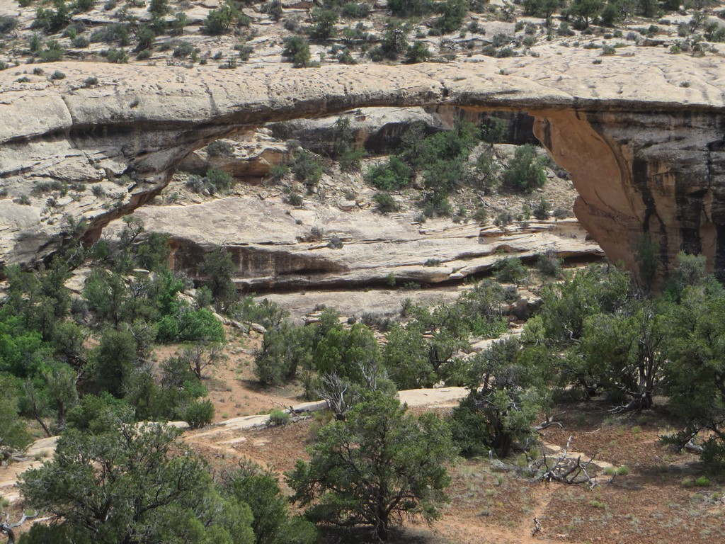 |
| Even I could find it. |

 |
| As high as it is on the left, the drop on the right is the same. |
 |
| Open range, I got startled by a couple on the side of the road that I didn't see until I could pet them. |
 |
| I caught this raven leaving his perch. I thought it was a baby calf until he took off. |


